

Skid Hill [Garleton Hills]
Good walks are even better shared.
NT5076 : Access road to Skid Hill Quarry
Alan Slater Photo source
Overview
Skid Hill [Garleton Hills]
Nestled within the scenic expanse of East Lothian, Skid Hill is a charming Marilyn that beckons both seasoned hikers and casual walkers alike. Standing at an elevation of 262 meters, it may not be the tallest peak in the kingdom, but its gentle slopes and rich history ensure that it holds a special place in the hearts of many.
Geology
The Garleton Hills, formed by ancient volcanic activity, showcase a fascinating array of geological wonders. As you hike, keep your eyes peeled for the unique basalt formations that whisper tales from a time when the earth was in its fiery youth. Not only does this terrain add a distinctive character to your journey, but it also provides excellent photo ops—so don’t forget your camera!
Routes
One of the most popular routes starts in the lovely coastal town of North Berwick. A brisk 6.5 km hike will have you traversing picturesque landscapes while you breathe in the fresh sea air and gaze out towards the Firth of Forth.
Consider setting aside around 2.5 hours for this moderately challenging hike, which will allow for plenty of time to enjoy the views (and possibly catch your breath!) on the way up.
Summit Features
Upon reaching the summit, you’ll find a friendly cairn greeting you—its stone visage a monument to all those who’ve ascended before you. Don't forget to plaster a smile on your face as you take your triumphant selfie beside the trig point!
Views
The view from the top is nothing short of spectacular. Gaze upon the rolling hills of East Lothian and let your eyes wander over the shimmering waters of the Firth of Forth. If you’re lucky, you might even spot the iconic Berwick Law jutting out on the horizon. For the best vistas, aim for spring or early autumn when the scenery bursts with colour.
Hazards
As with any hike, it's essential to stay aware of your surroundings. The terrain can be slippery after rain, so watch your step—nobody wants to have an embarrassing slip and slide moment! Additionally, be mindful of the weather, as conditions can change faster than you can say 'East Lothian'.
Access
Getting to Skid Hill has never been easier. With plenty of parking in North Berwick and convenient public transport links from Edinburgh, you’ll be on your way before you know it!
After your hike, indulge in some much-deserved refreshments in North Berwick, where charming cafés will be more than happy to cater to your weary legs.
History
The name 'Skid Hill' evokes thoughts of gliding down its smooth-sloped sides—a reflection of its inviting nature. The hills also carry significant historical weight, serving as a tactical vantage point throughout the ages.
In summary, Skid Hill is a gem of East Lothian that promises not just a hike, but an experience steeped in natural beauty and historical significance. Grab your boots and head out for a day of exploration—you won't regret it!
Explore routes near Skid Hill [Garleton Hills]
Walks starting near this hill. Open a route to check its map, distance and full itinerary.
Cottyburn to Haddington: East Lothian Railway Walk return
View route
Dalkeith Country Park: Estate and North Woods Green Trail
View route
To Absent Friends: Holyrood Park walk
View route
Artists’ walk in Craigmillar Castle Park (group meeting)
View route
Route planning notes
These notes describe possible approaches. Check a route's map and access information when planning your walk.
North Berwick to Skid Hill
A pleasant hike beginning in North Berwick, offering scenic views throughout your journey. The route is well marked and takes you through grassy slopes and the occasional bramble patch.
Make a day of it, together
Find someone to share the walk with, or organise a day out along a route you like.
Photo Gallery
View all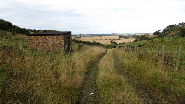 Photo could not load
NT5076 : Access road to Skid Hill Quarry
Alan Slater
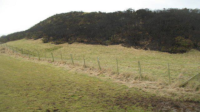 Photo could not load
NT5076 : Burnt whins, Garleton Hill
Richard Webb
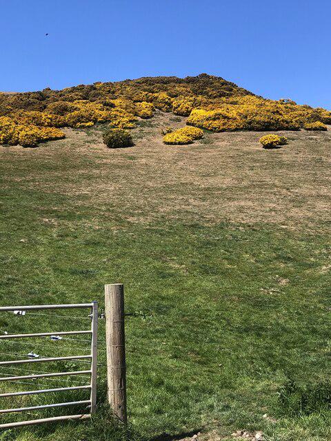 Photo could not load
NT5076 : Skid Hill
Richard Webb
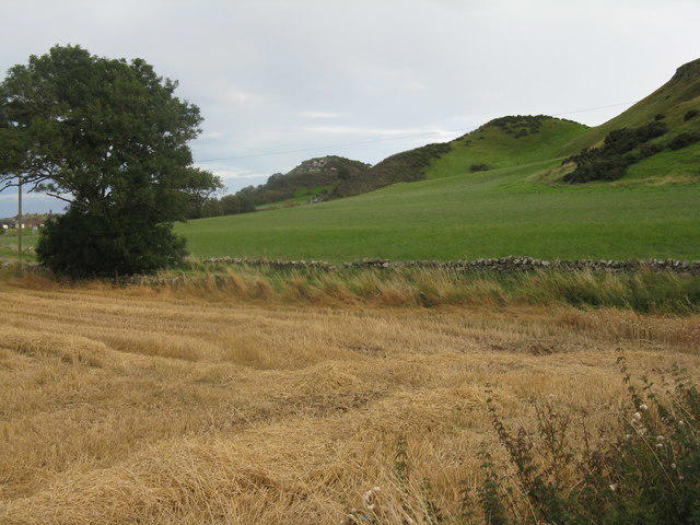 Photo could not load
NT5076 : The Garleton Hills
M J Richardson
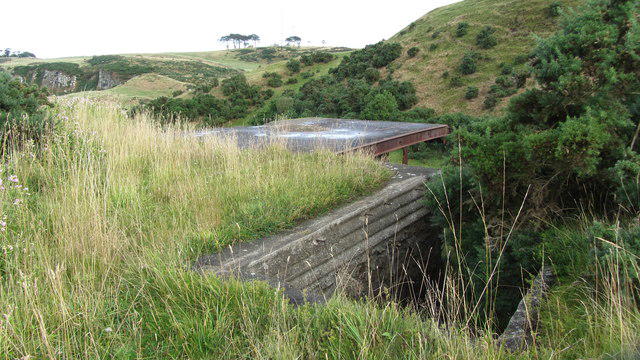 Photo could not load
NT5076 : Old quarry buildings
Alan Slater
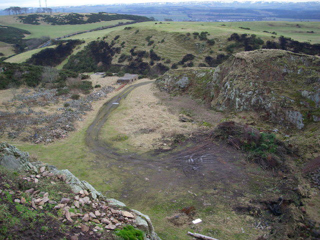 Photo could not load
NT5076 : Disused Quarry, Skid Hill
Calum Young
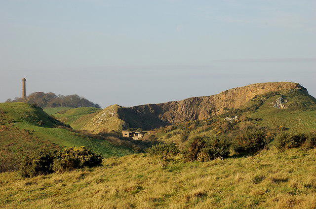 Photo could not load
NT5076 : Skid Hill quarry and Hopetoun Monument
Jim Barton
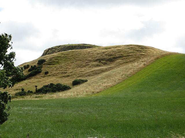 Photo could not load
NT5076 : Skid Hill
Richard Webb
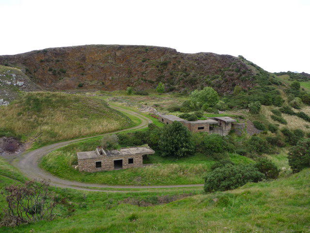 Photo could not load
NT5076 : East Lothian Landscape : Skid Hill Quarry, Garleton Hills
Richard West
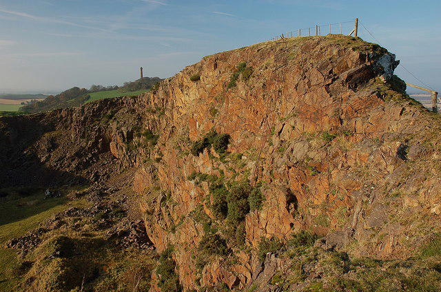
NT5076 : Skid Hill quarry face
Jim Barton
Hill facts and local notes
Classifications
Elevation
186m
610 ft
Prominence
98m
Coordinates
55.9784, -2.7911
NT507764
OS Map
66
Explorer: 351W
At the Summit
The summit is crowned with a modest cairn and offers a trig point for those with a penchant for geodetic quirks.
Terrain & Geology
The Garleton Hills are formed primarily of volcanic rock, with features such as basalt columns that hint at their fiery origins. As you wander through these hills, keep an eye out for exposed rock formations and remnants of ancient volcanic activity, which will make you feel like a geologist on the hunt for treasure!
Views & Scenery
From the summit, one can behold a stunning panorama of East Lothian, including views of the Firth of Forth, Berwick Law, and on clear days, the distant peaks of the Pentland Hills.
History & Heritage
Name Origin
The name 'Skid Hill' derives from the Old Norse word 'skíð', meaning 'to glide', possibly a nod to the smooth hillsides that are a joy to traverse.
Historical Significance
Historically, the Garleton Hills have been a refuge and point of interest for locals, offering both a strategic viewpoint and a place of solace.
Getting There & Facilities
Parking
There is ample parking available at North Berwick, just a short stroll from the start of the route.
Public Transport
North Berwick is well-served by train from Edinburgh, making it a doddle to reach by public transport.
Nearby Facilities
Cafes and restaurants are readily available in North Berwick, perfect for a well-deserved reward after your hike. Public toilets can also be found in the town.
Safety Information
Known Hazards
- Undulating terrain can become slippery after rain; keep your feet about you!
- Watch out for sudden changes in weather—East Lothian can be notorious for having four seasons in a day.
General Safety Tips
- Check weather conditions before setting out
- Carry appropriate clothing and equipment
- Let someone know your planned route
- Take a map, compass, and GPS device
- Carry emergency supplies: food, water, first aid kit, torch
Hills
Some common questions about the hills answered
Are there group walks up Skid Hill [Garleton Hills]?
Many walkers use Walkmates to join or organise walks with others. You can check for group walks around Skid Hill [Garleton Hills] through the maps
Are there other walkers around Skid Hill [Garleton Hills]?
Activity varies by location and time, but Walkmates lets you see whether others have shared walks or shown interest in this area. Find other people through the walking friends search walking friends for Skid Hill [Garleton Hills] search or of course create your own walk for Skid Hill [Garleton Hills]
Can I organise a walk to Skid Hill [Garleton Hills]?
Yes. If there aren’t any walks listed already, you can create a walk and make it available for others to join.
If you're signed up to Walkmates, you can create a walk to Skid Hill [Garleton Hills].
How do I find a walk up this hill?
There are often multiple ways to walk this hill, depending on experience and route preference. Walkmates helps you explore walks and routes that others have shared.
Can I suggest a new route up Skid Hill [Garleton Hills]?
Yes. You can suggest or create routes to share with others. Walkmates focuses on the social side of walking, so routes are used to help people organise walks and explore areas together, rather than as detailed navigation tools or route libraries.
Other uses really appreciate knowledgeable walkers sharing their routes. Share your favourite route to Skid Hill [Garleton Hills] here
The is an error or something incorrect about this hill. How do I let you know?
We always strive to keep the information on Walkmates as accurate as possible. If you find an error, please let us know through the contact form and we'll aim to correct it as quickly as possible
Community Discussion
Comments
Location
![Skid Hill [Garleton Hills] location map](https://cdn.walkmates.com/hill-maps/hill-sources/7347/55.97837_-2.79114.png)
Grid reference: NT507764
View on OpenStreetMapOpens a map in a new tab, centred on the hill.



No comments yet. Be the first.